Natural Resources
Solutions for Natural Resources

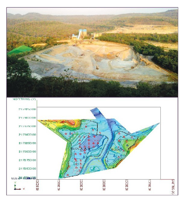
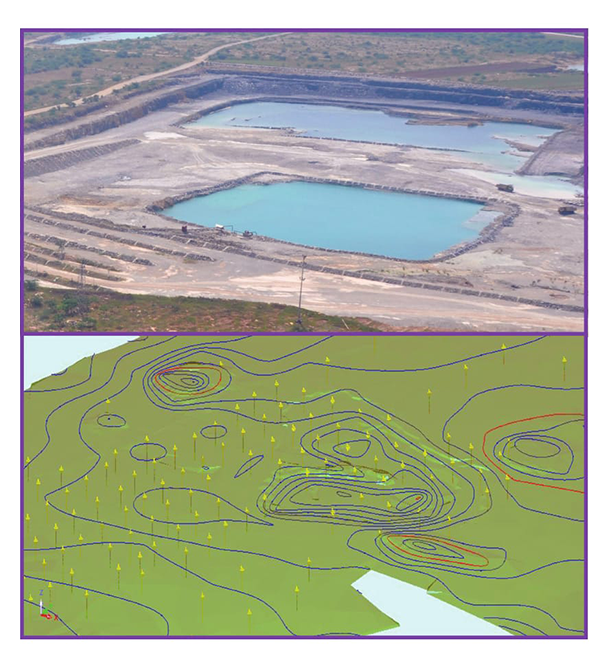
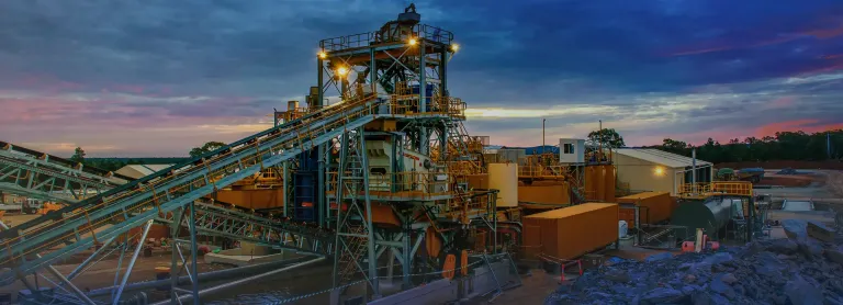
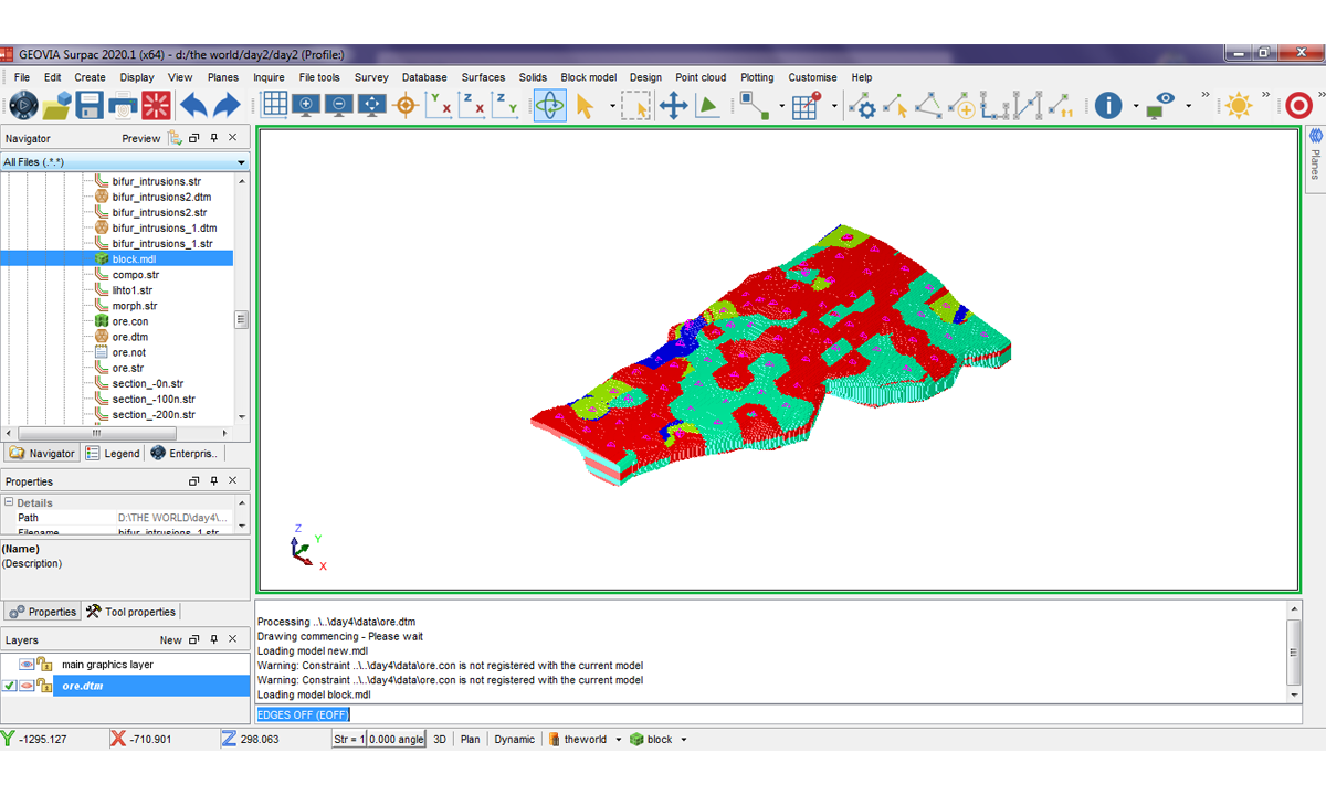
Optimized Mine Planning and Geological Modelling
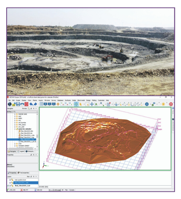
Effective mine planning and geological modeling are critical for maximizing resource extraction, improving operational efficiency, and ensuring safety in the mining industry. The ability to…

Crop Management with Geospatial Analytics and Real-Time Data
Effective crop management relies on timely and accurate information to optimize agricultural practices. By leveraging Esri’s geospatial analytics and real-time data, farmers can monitor and…

Harvesting Decisions and Crop Yields with Geospatial Insights
Making informed decisions about harvesting timing and crop yields is critical to maximizing productivity and minimizing losses. Esri’s geospatial insights enable farmers to analyze field…

Smart Geospatial Solutions for Precision Agriculture
Precision agriculture requires cutting-edge technology to make farming more efficient and sustainable. Esri’s smart geospatial solutions provide farmers with the tools to monitor every aspect…

Afforestation and Reforestation with Geospatial Monitoring and Planning
Managing forest ecosystems requires sustainable practices, biodiversity monitoring, and data-driven decisions. Esri’s geospatial analytics enable forest managers to analyze biodiversity, soil health, and water resources…

Wildfire Management and Prevention with Geospatial Mapping Solutions
Wildfire management relies on precise mapping, monitoring, and predictive analysis to reduce risk and improve response efforts. Esri’s GIS technology allows forestry teams to analyze…

Forest Ecosystem Management with Geospatial Analytics and Data
Managing forest ecosystems requires sustainable practices, biodiversity monitoring, and data-driven decisions. Esri’s geospatial analytics enable forest managers to analyze biodiversity, soil health, and water resources…

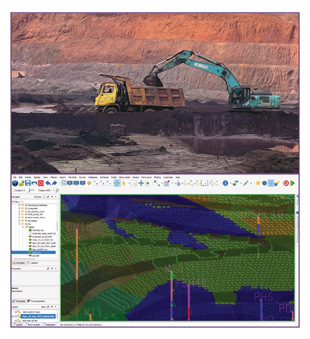
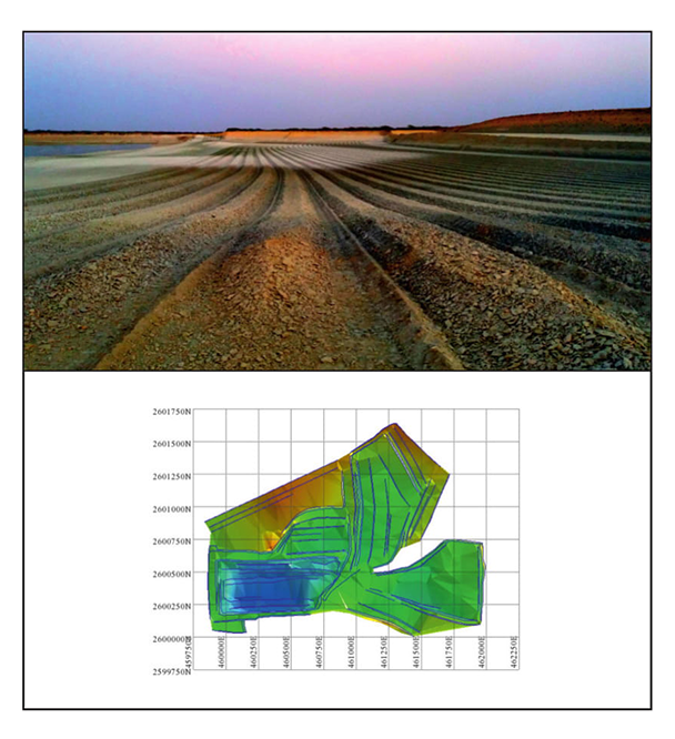
Optimizing Mining Operations with Geological and Spatial Expertise
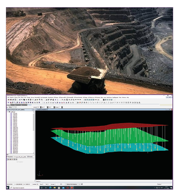
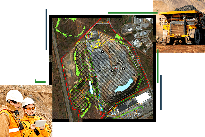
Combining advanced geological modeling with geospatial intelligence provides mining companies with unparalleled insights into resource management and operational efficiency. By integrating GEOVIA tools such as…

Precise Geological Modeling and Efficient Scheduling for Mining
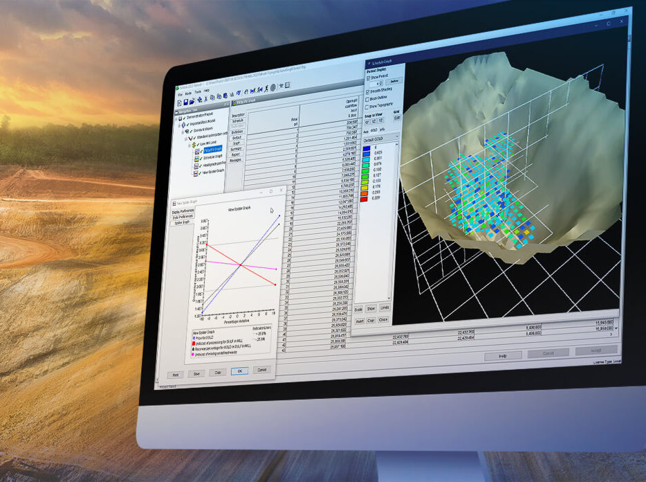
Effective mining operations require precise geological modeling and efficient scheduling to maximize resource extraction, minimize waste, and ensure operational safety. GEOVIA, with its advanced tools…
Segments

Products


ArcGIS for Mining
Leverage geospatial intelligence for smarter decision-making in natural resource management
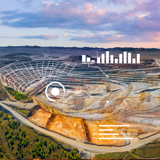

GEOVIA
Enhance efficiency in resource operations with integrated planning and simulation tools
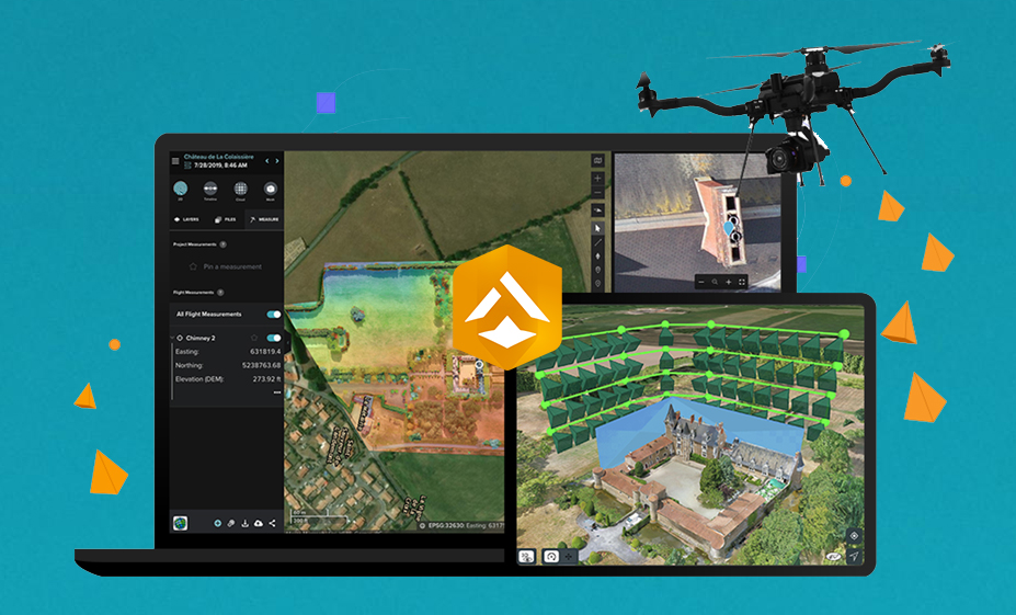

ArcGIS Site Scan
Drone Mapping Solutions Hosted on India Cloud for Enhanced Efficiency and Scalability
Trends
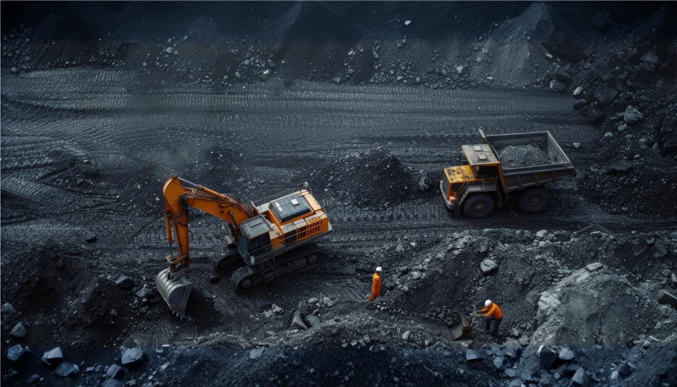
Improve Mine Planning and Design with Advanced Geospatial Modeling
Improving mine planning and design is essential for maximizing resource extraction and ensuring operational efficiency in the mining industry. However, key challenges include managing complex geological data, optimizing mine layouts, and ensuring safety while minimizing environmental impact. GEOVIA addresses these challenges by providing advanced geospatial modeling tools that enable precise mine planning and design. By integrating geological data with advanced 3D visualization, GEOVIA helps miners optimize resource extraction, reduce operational risks, and enhance decision-making. This enables more accurate and efficient planning, ultimately improving productivity and sustainability in mining operations.

Enable Real-Time Data-Driven Decisions in Mining and Resources
In the mining and resources industry, making real-time data-driven decisions is crucial for optimizing operations, improving safety, and maximizing resource recovery. However, key challenges include the complexity of managing vast amounts of data from various sources, ensuring data accuracy, and integrating it into actionable insights quickly. GEOVIA addresses these issues by providing a powerful platform that integrates real-time data with advanced modeling and simulation tools. This enables mining companies to make informed decisions on resource management, mine planning, and production scheduling. With GEOVIA, stakeholders can access up-to-date, accurate information, improving efficiency, reducing risks, and enhancing overall productivity in mining operations.
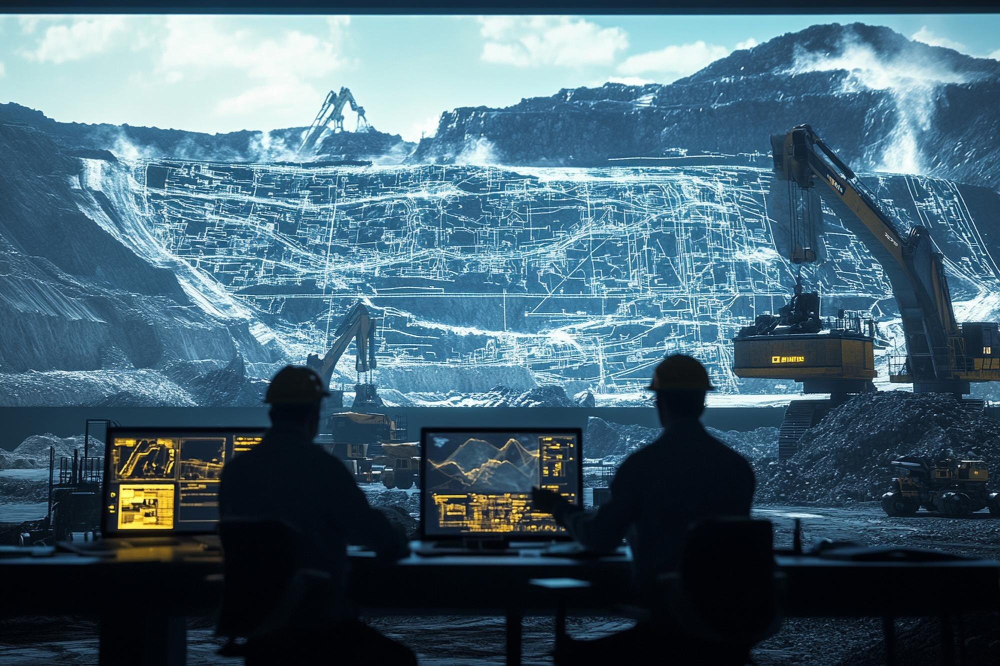
Maxime Mining Yield through Advanced Resource Modeling and Simulation
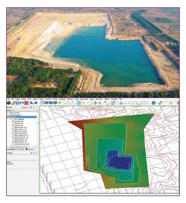
Maximizing mining yield is crucial for improving efficiency and profitability in the mining industry. However, challenges such as accurately predicting resource availability, optimizing extraction methods, and minimizing environmental impact can hinder resource recovery. GEOVIA addresses these challenges by offering advanced resource modeling and simulation tools that integrate geological, environmental, and operational data. This allows mining companies to create precise, data-driven models for resource estimation, mine design, and extraction planning. By leveraging these insights, GEOVIA helps maximize yield, reduce waste, and improve decision-making, ultimately increasing efficiency and profitability while ensuring sustainable mining practices.
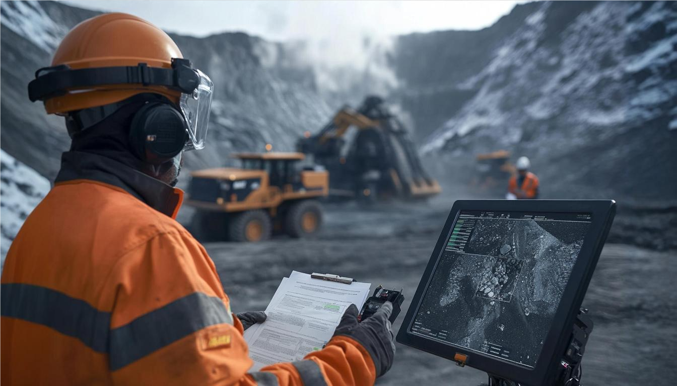
Optimize Mining Operations with Advanced Scheduling and Production Planning
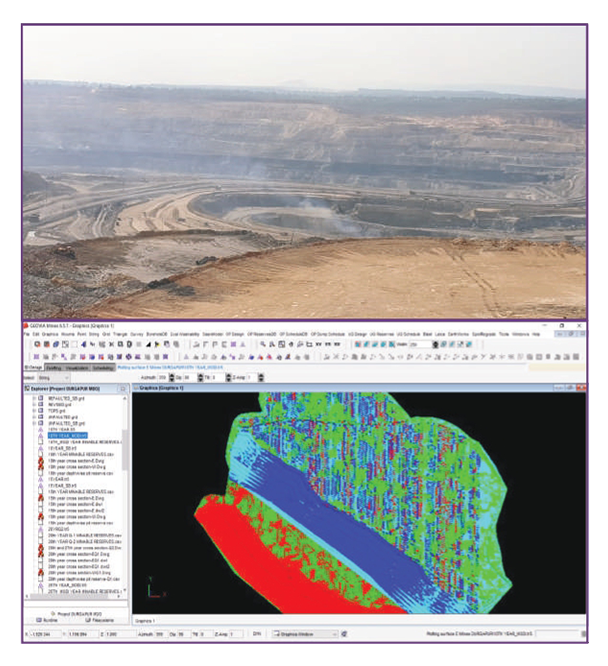
Optimizing mining operations is essential for improving productivity, reducing costs, and ensuring efficient resource extraction. However, key challenges include managing complex schedules, coordinating various mining processes, and minimizing downtime while ensuring safety. GEOVIA addresses these issues with advanced scheduling and production planning tools that enable seamless integration of real-time data, resource availability, and operational requirements. By creating optimized schedules and simulating production scenarios, GEOVIA allows mining companies to make data-driven decisions, improve operational efficiency, and ensure timely resource extraction. This ultimately helps streamline operations, reduce delays, and enhance overall productivity in mining projects.

Transforming Agriculture with ArcGIS for Smart Farming
Transforming agriculture with smart farming technologies is key to improving productivity, sustainability, and resource management. However, challenges such as inefficient land use, unpredictable weather conditions, and lack of data-driven insights make it difficult to optimize farming practices. ArcGIS addresses these issues by providing powerful geospatial tools that enable farmers to collect, analyze, and visualize data related to soil health, crop growth, and weather patterns. By integrating real-time information and advanced mapping capabilities, ArcGIS helps farmers make informed decisions on irrigation, planting, and harvesting, leading to improved yields, reduced resource waste, and enhanced sustainability in farming practices.

Smart Asset Management for Modern Agriculture
Smart asset management is vital for modern agriculture to optimize resource utilization, reduce costs, and enhance productivity. However, challenges such as tracking assets across large farms, managing equipment maintenance, and ensuring efficient resource allocation can hinder operational efficiency. ArcGIS addresses these issues by offering advanced geospatial mapping and tracking tools that allow farmers to monitor assets in real time, manage equipment schedules, and track inventory. By integrating

Streamlining Field Data Analysis in One Unified System
Streamlining field data analysis is essential for improving decision-making and operational efficiency in agriculture. However, challenges such as fragmented data sources, inefficient data collection methods, and difficulty in analyzing large volumes of field data can hinder productivity. ArcGIS addresses these issues by providing a unified platform for collecting, analyzing, and visualizing field data. With its powerful geospatial tools, ArcGIS integrates various data sources, such as soil health, weather patterns, and crop performance, into one cohesive system. This allows farmers to make informed, data-driven decisions, optimize resource use, and enhance overall farm management, leading to improved crop yields and sustainability.
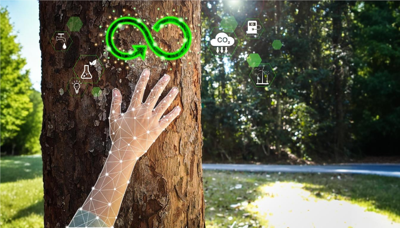
Restoring Ecosystems with Data-Driven Solutions
Restoring ecosystems is crucial for promoting biodiversity, improving soil health, and enhancing long-term agricultural sustainability. However, challenges such as identifying restoration areas, monitoring environmental changes, and managing large-scale projects can complicate ecosystem recovery efforts. ArcGIS addresses these issues by providing powerful data-driven solutions that enable precise mapping, monitoring, and analysis of ecosystems. With its geospatial tools, ArcGIS helps track environmental health, identify areas in need of restoration, and evaluate the impact of restoration efforts over time. This allows farmers and environmentalists to make informed decisions, optimize restoration strategies, and enhance the overall health and resilience of ecosystems.
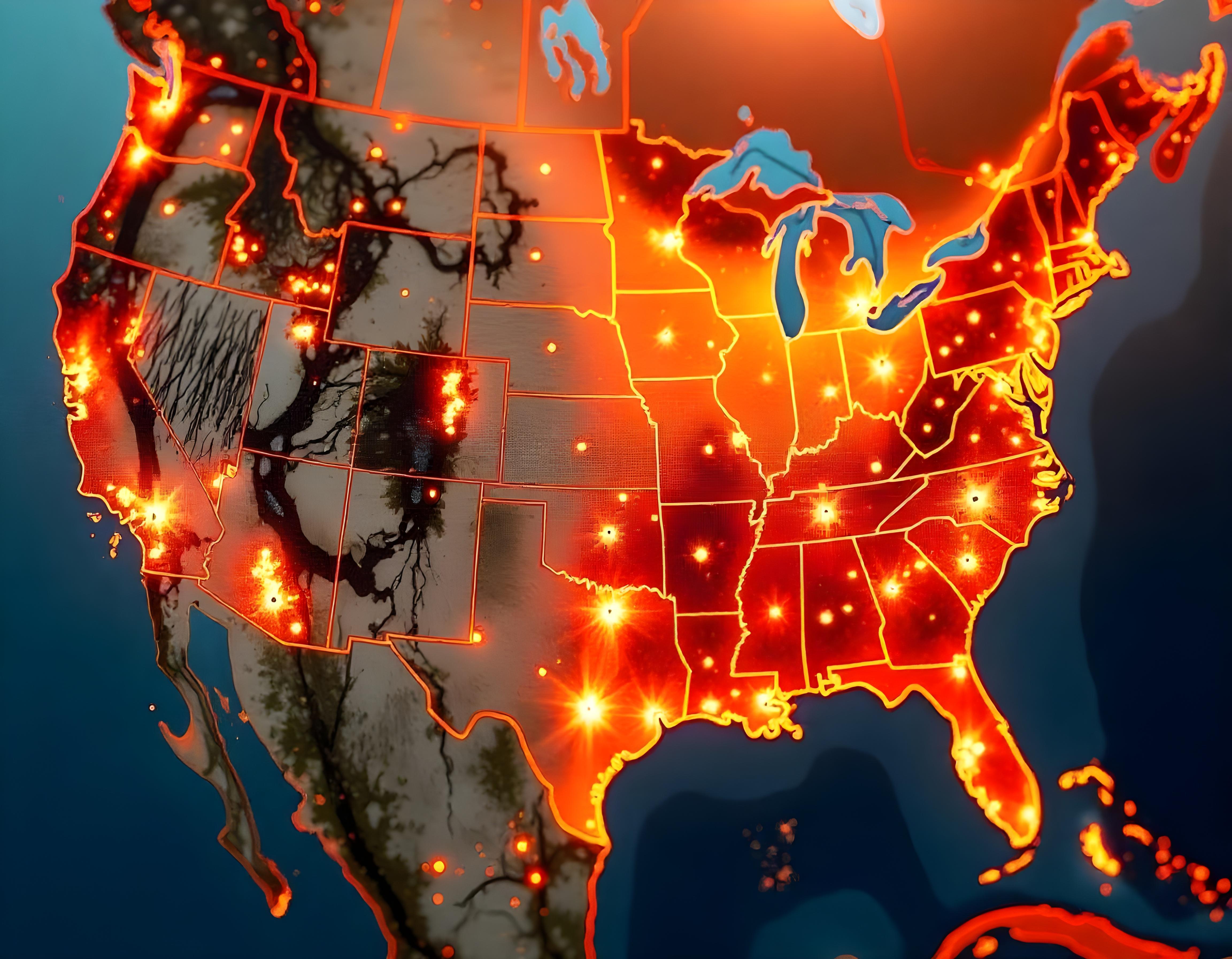
Leverage GIS for Wildfire Risk Mapping and Land-Use Planning
Leveraging GIS for wildfire risk mapping and land-use planning is essential for protecting forests, communities, and natural resources. However, challenges such as accurately assessing wildfire risk, managing vast landscapes, and planning land-use strategies to minimize fire hazards can complicate mitigation efforts. ArcGIS addresses these issues by providing advanced geospatial tools that allow forestry professionals to map wildfire risk zones, analyze vegetation types, and assess environmental factors that contribute to fire behavior. By integrating real-time data and predictive models, ArcGIS enables more informed land-use decisions, helping to reduce wildfire risks, improve forest management, and enhance community resilience to wildfires.
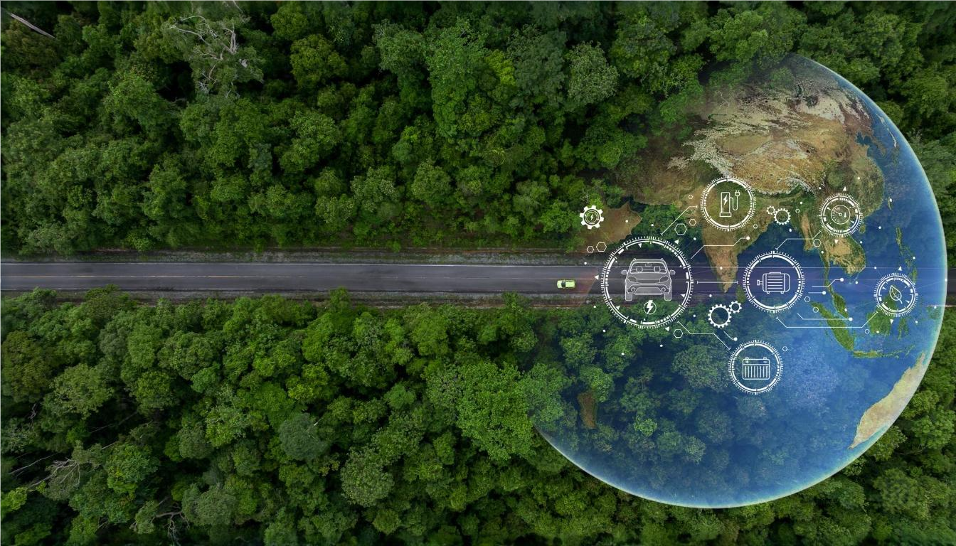
Supporting Biodiversity with Spatial Data and GIS-Based Environmental Management
Supporting biodiversity in forestry requires effective management and conservation strategies to protect ecosystems and species. However, challenges such as monitoring diverse habitats, understanding ecological relationships, and implementing sustainable practices can complicate conservation efforts. ArcGIS addresses these challenges by providing robust spatial data and GIS-based tools to track, analyze, and manage biodiversity. By mapping habitats, monitoring species distributions, and assessing environmental impacts, ArcGIS helps forestry professionals make informed decisions for better conservation planning. This enhances the ability to protect critical ecosystems, improve biodiversity outcomes, and implement effective environmental management strategies across forestry operations.
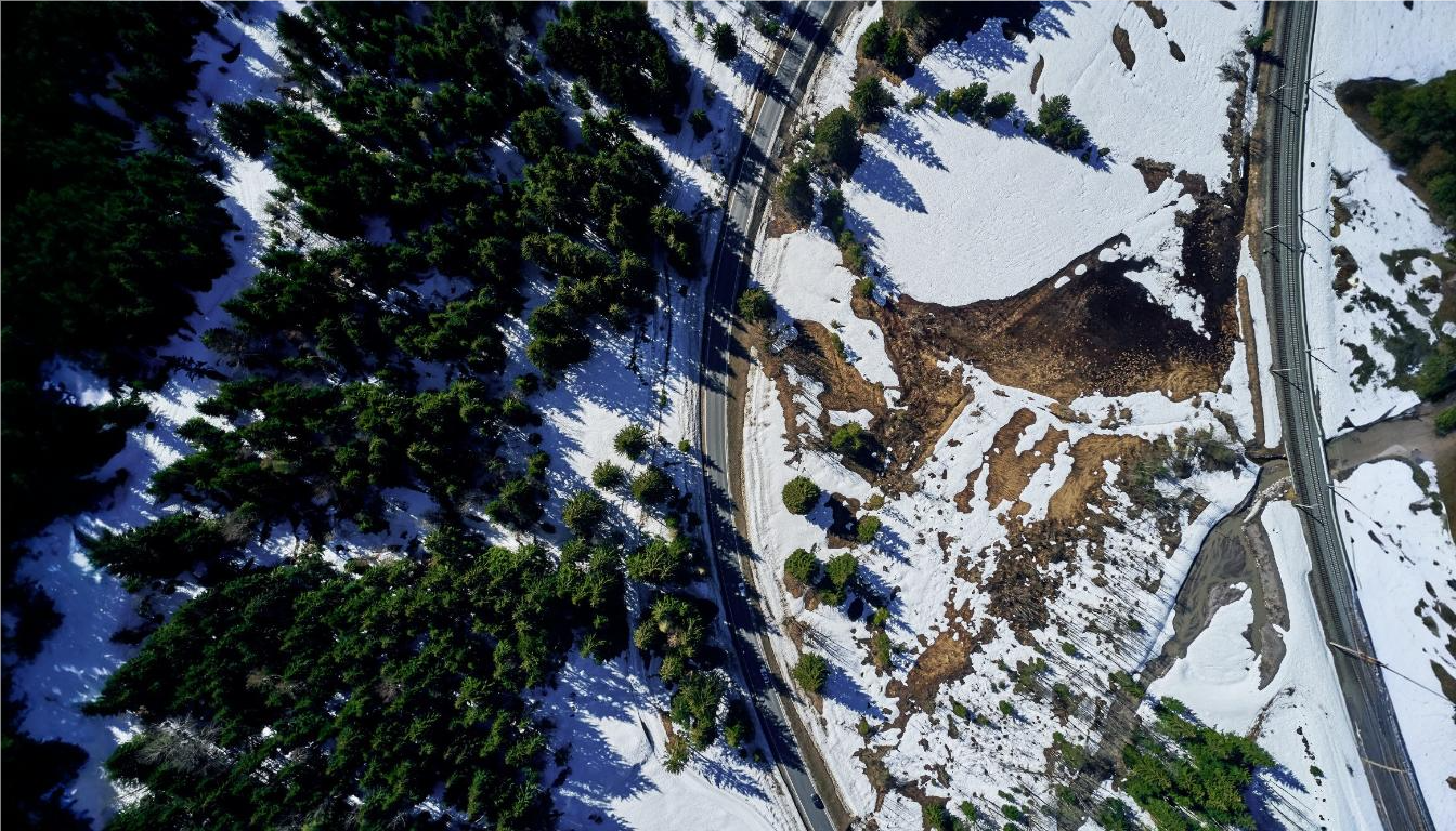
GIS for Large-Scale Afforestation Projects and Environmental Restoration
GIS plays a crucial role in large-scale afforestation projects and environmental restoration by providing the tools needed for precise planning, monitoring, and management of these complex initiatives. However, challenges such as identifying suitable planting sites, tracking progress over vast areas, and assessing long-term environmental impacts can hinder the success of these projects. ArcGIS addresses these issues by offering powerful geospatial tools that allow forestry professionals to map land suitability, monitor tree growth, and analyze environmental conditions. With real-time data integration and advanced modeling capabilities, ArcGIS supports effective decision-making, ensuring that afforestation and restoration efforts are optimized for environmental sustainability and long-term success.
Blogs
Discover our most recent posts across all industries, brands and topics
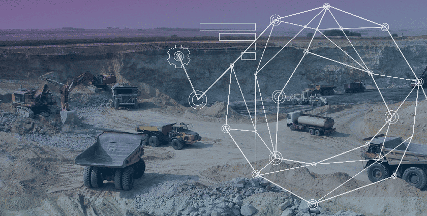
Transforming Business Operations with Mining Intelligence
Data is the backbone of the mining industry. Every mine must have reliable, up-to-date information to make the best possible decisions, from first dig to…
